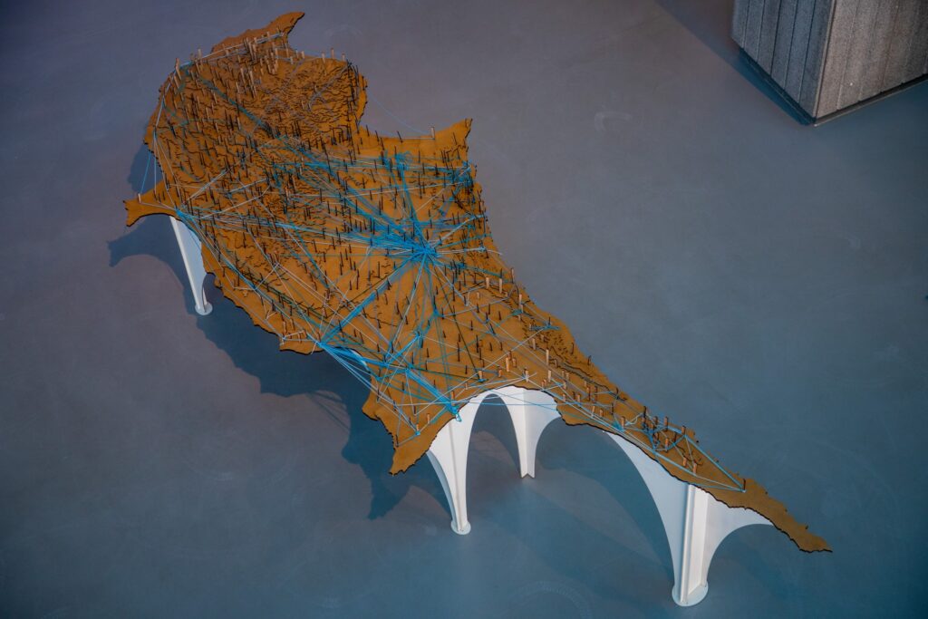
NEMATA map of Cyprus found its way to CYENS x AGORA
The NEMATA project was commissioned by the Deputy Ministry of Culture to CYENS teams to commemorate fifty years since 1974.
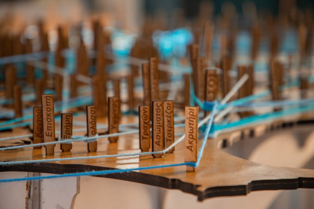
NEMATA invites you to reflect on your journey: Where were you living in 1974? Where do you live today? Where have you been in the meantime? By pulling threads that record your movements across the island, your personal history will intertwine with the stories of other refugees.

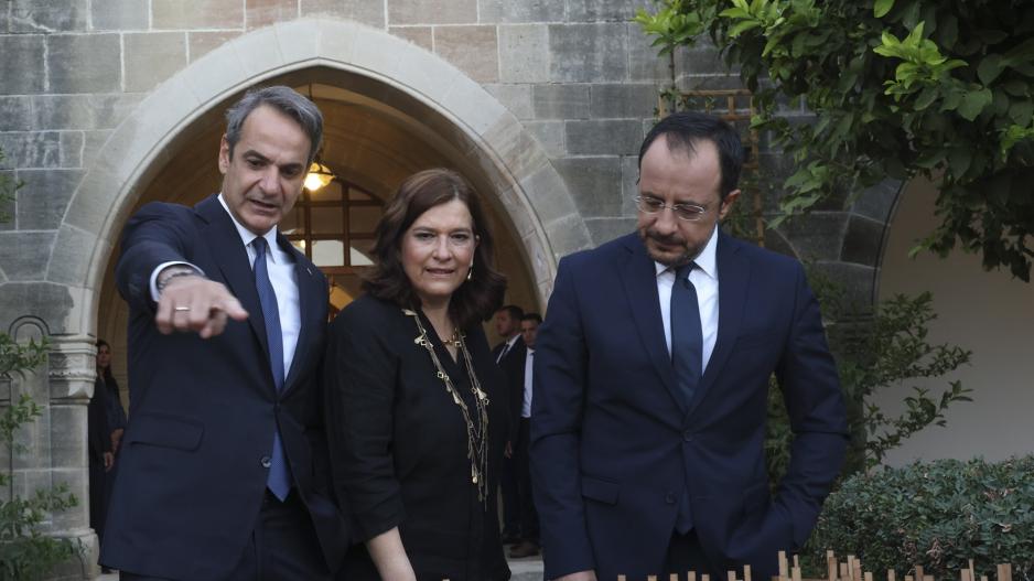
Photo source: Alpha News
Designed and fabricated at CYENS – Thinker Maker Space, these maps have traveled to various cities across Cyprus.
Special thanks to our talented technicians, Stratis Pantelides and Alexis Charalambous, who created the physically interactive map, and Andreas Papapetrou for the project management on behalf of the deputy ministry of culture.
The exceptional digital version created by CYENS 3D/SW Development Team: Tereza Kourra, Andreas Socratous, Marios Pafitis, and Kyriacos Larmos, where strings are automatically tied on the map based on the information you provide, with all data securely archived.
Visit the digital version of NEMATA here
To watch the excerpt from the RIK News referring to the project please click here, and for an article from Alpha News, click here.


